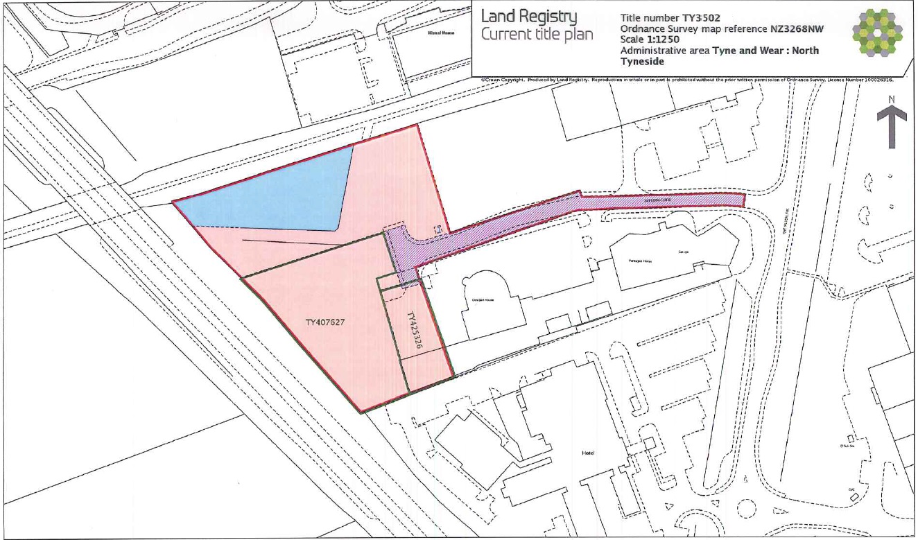
Often undertaken as a new build or as part of a re-development, Land Registry plans are required to define the boundary and size of parcels of land or rented space. Academy Geomatics Ltd regularly carries out Land Registry surveys on shop units, industrial units and private properties. The survey will form part of a legal document fixing the boundary of the property. When used for lease purposes, areas (Various floor areas can be calculated in accordance with “RICS Property Measurement: 2nd Edition Jan 18”) can be added to show total usable and rentable space.


