Services
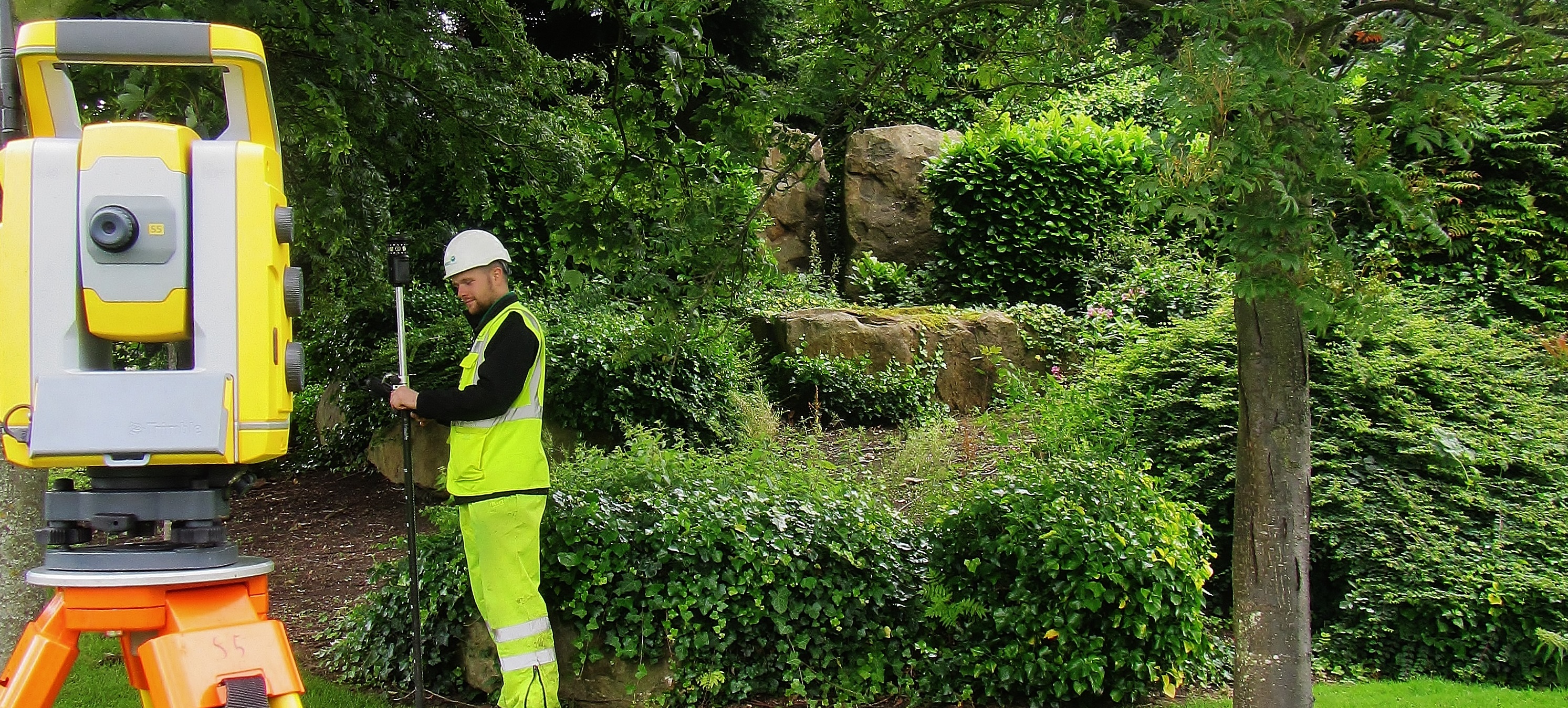
Topographical Surveys
Topographical Surveys Home Topographical Surveys We take pride in the production of accurate site surveys. Our surveys form the basis of many construction, redevelopment, flood alleviation and preservation projects nationwide. An accurate and up to date topographical survey will be used throughout all stages of a project from the initial assessment and feasibility to the […]
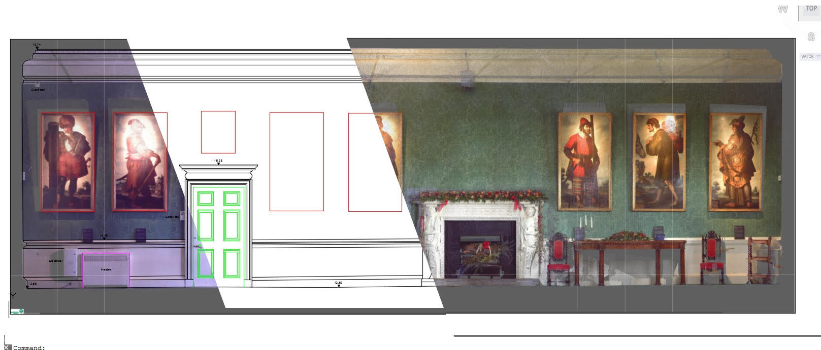
Measured Building Surveys
Measured Building Surveys Home Measured Building Surveys Detailed floor plan surveys can be carried out independently or in conjunction with our topographical surveys offering survey data of both internal and external areas. Measured building surveys form an integral part of major redevelopment, change of building use, licensing, planning, leasing (Various floor areas can be calculated […]
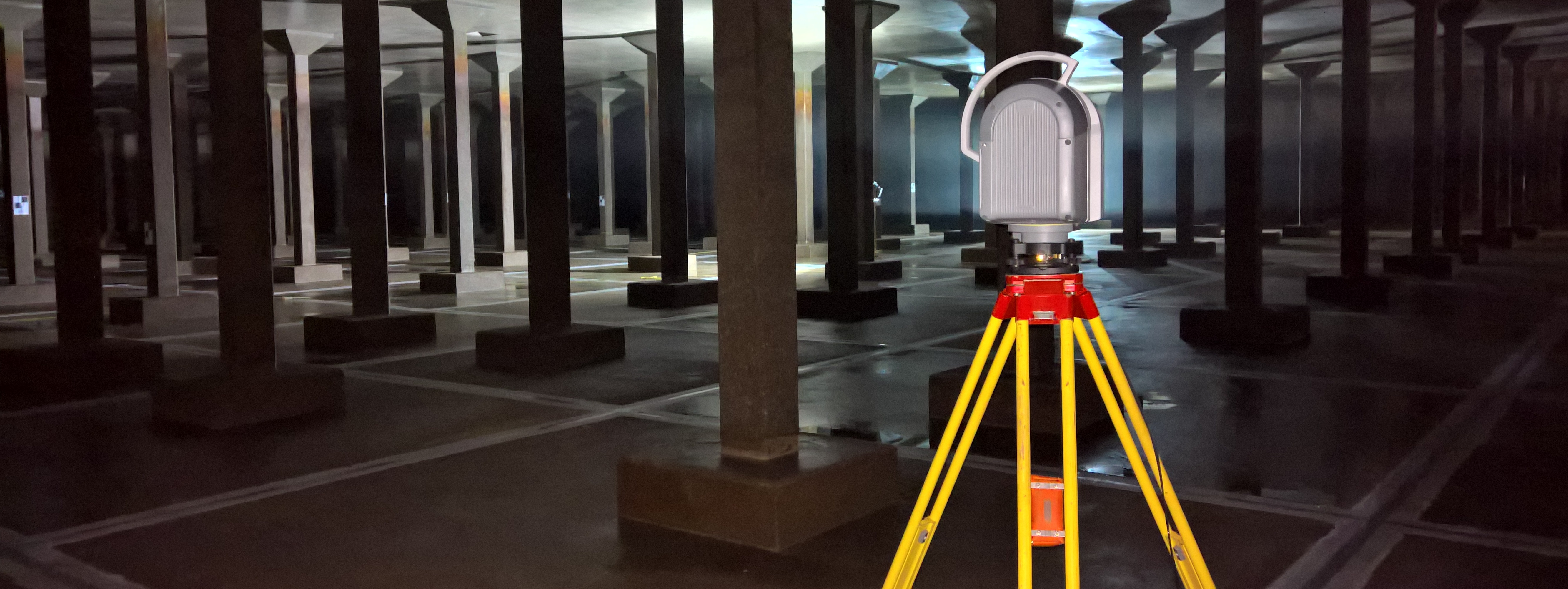
Laser Scanning
Laser Scanning Home Laser Scanning The company uses the latest 3D laser scanning techniques and technology to produce unprecedented levels of detail and functionality. Laser scanning can be used to produce elevations, floor plans, cross sections, verticality checks, monitoring, as builts, with detail surveyed remotely, and at a speed and level of detail traditional surveys […]
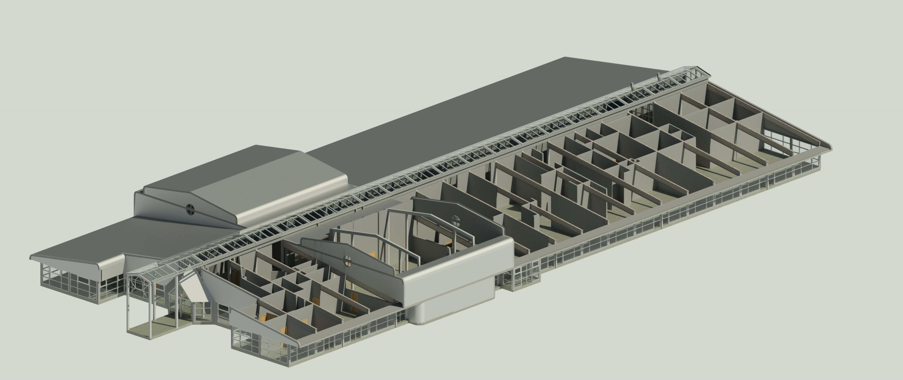
3D Modelling
3D Modelling Home 3D Modelling Drawing on our experience in measured building surveys Academy Geomatics utilise the latest terrestrial and mobile laser scanners to capture field measurements, in point cloud format, on the internal and external areas of buildings and structures. Measurements are geo-referenced to survey control and the point cloud data can then be […]
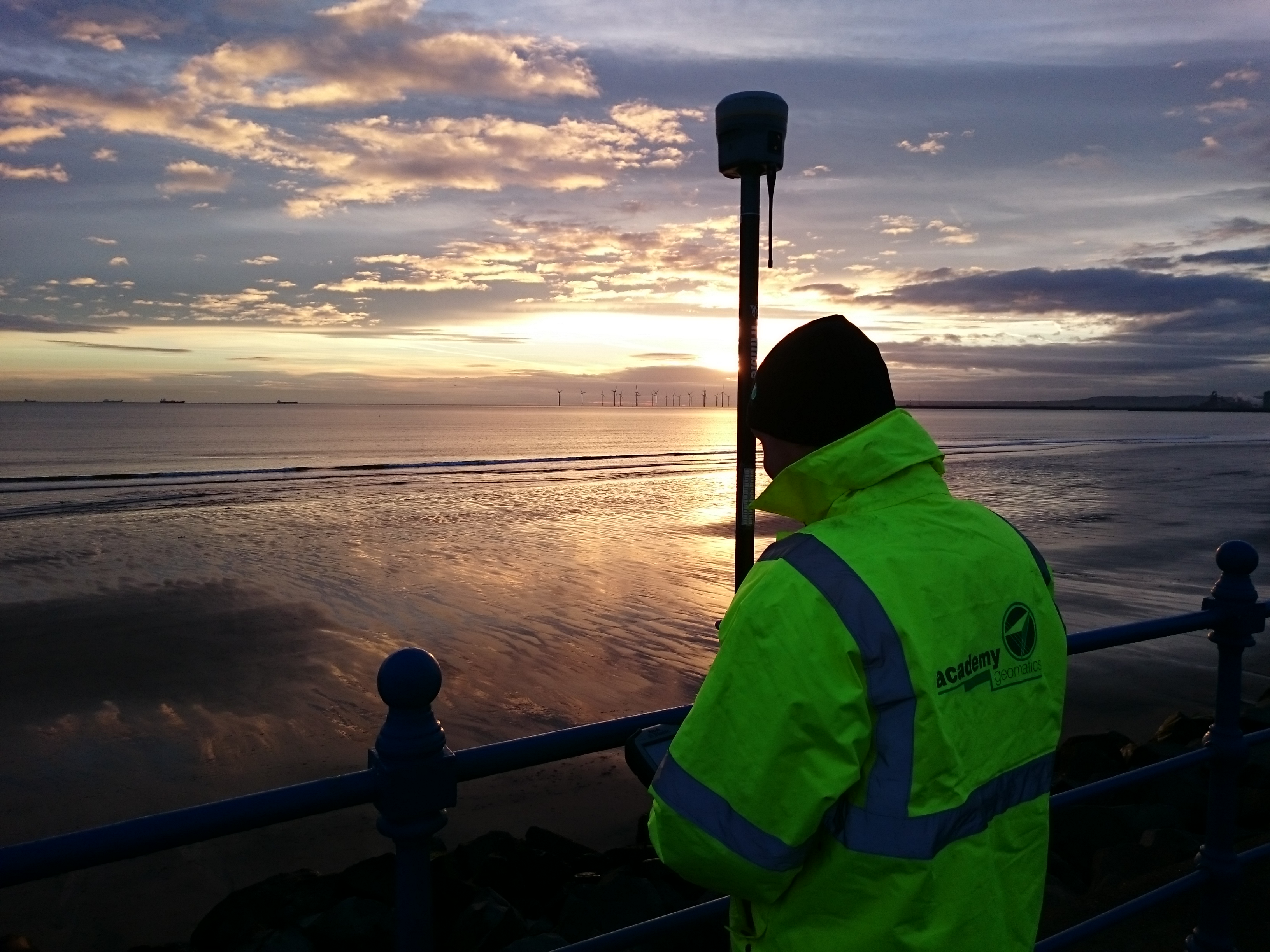
Global Navigation Satellite Systems (GNSS)
Global Navigation Satellite System Home Global Navigation Satellite System GNSS surveys are undertaken with high accuracy dual frequency GNSS receivers manufactured by Leica and Trimble. All the equipment is regularly calibrated against know reference points. Typically the GNSS data is post processed, however, data is available on site in real-time data using our network connections […]
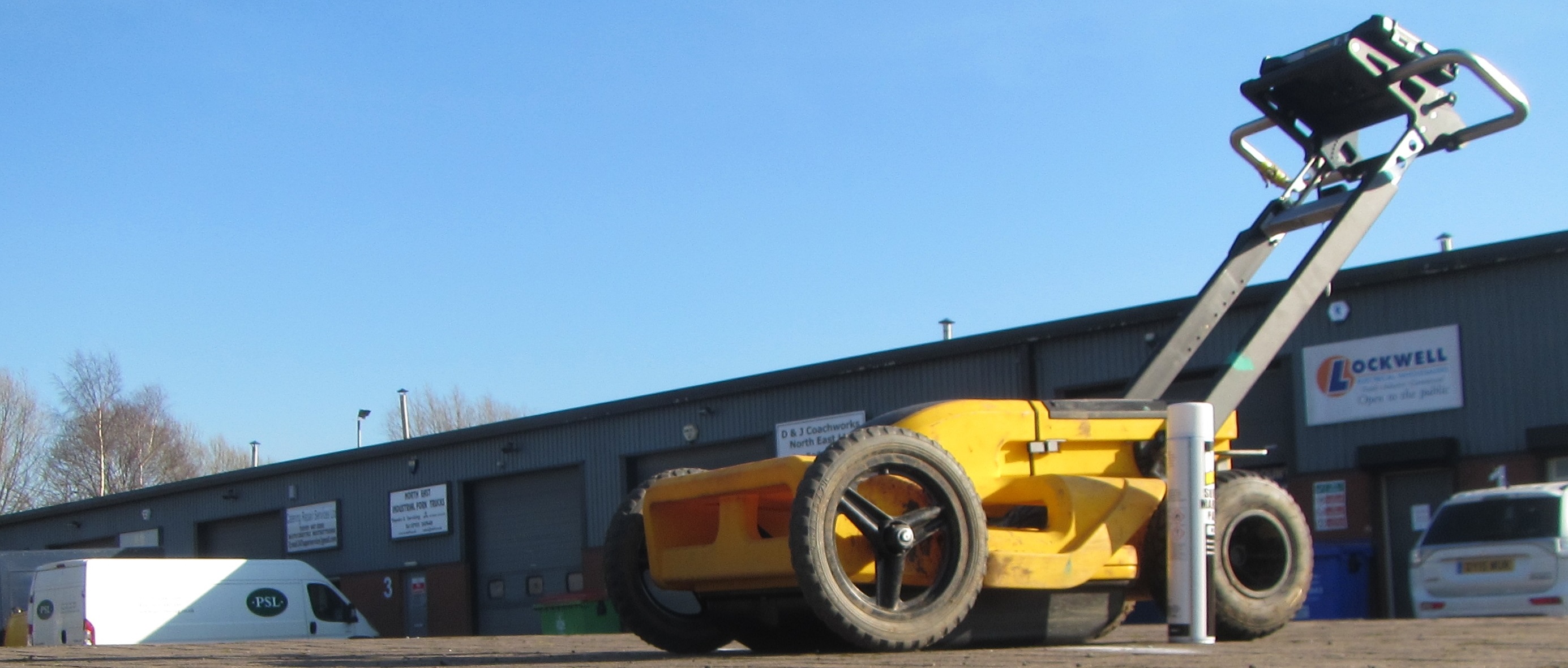
Buried Utility Tracing / PAS 128
Underground Utility Surveys / PAS 128:2014 Home Underground Utility Surveys / PAS 128:2014 Most new development projects have a requirement to locate underground infrastructure crossing or entering a site, for either utilisation or avoidance purposes. Old service drawings from various utility providers simply do not have sufficient accuracy to give any confidence in their location. […]

Drainage Surveys
Drainage Surveys Home Drainage Surveys Surveys of storm water and foul water sewer networks provide connected network plans of pipe sizes, flow direction and capacity to be used by Engineers in flood alleviation and prevention. Surveys can vary from basic invert levels through Long and Short Form surveys to fully dimensioned internal surveys with detailed […]
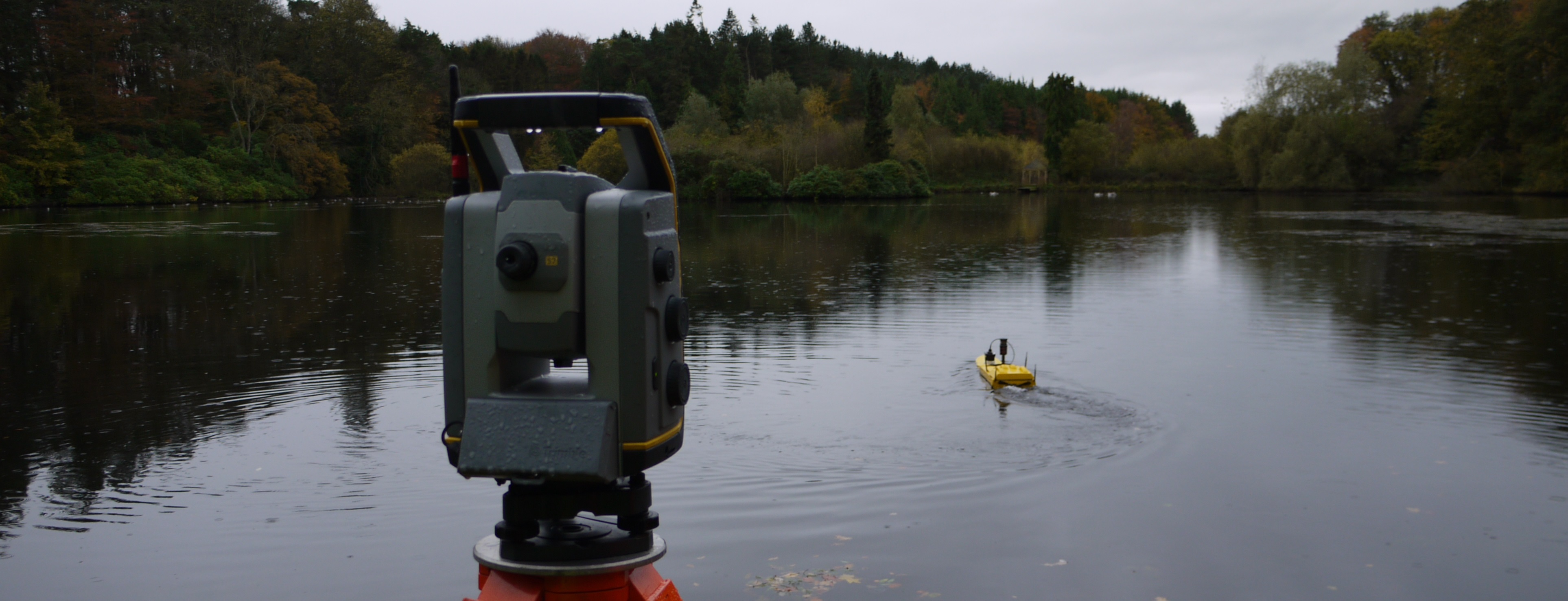
Hydrographic Surveys
Hydrographic Surveys Home Hydrographic Surveys Encompassing a variety of water bodies; from rivers, lakes, ponds, canals, quarries, whether fresh water or salt water, Academy Geomatics Ltd can provide hydrographic surveys for many end users. We utilise an array of the latest equipment ranging from sonar, remote boats, echo sounders (single beam & multi beam), sub-bottom […]

Environmental Surveys
Environmental Surveys Home Environmental Surveys Working with local authorities and environmental contractors, the company regularly undertakes surveys to assess the impact of environmental factors. Such surveys include river flood defences, flood plain and river sections, property threshold levels, coastal erosion, coastal defence structures and dune monitoring. Our surveyors have developed techniques to enable the fast […]
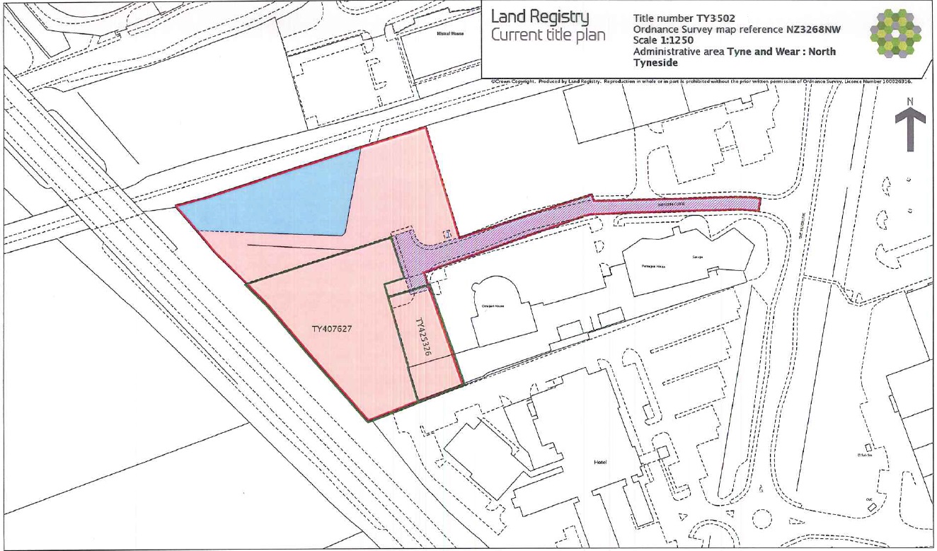
Registry Plans
Land Registry Plans Home Land Registry Plans Often undertaken as a new build or as part of a re-development, Land Registry plans are required to define the boundary and size of parcels of land or rented space. Academy Geomatics Ltd regularly carries out Land Registry surveys on shop units, industrial units and private properties. The […]
Precise Monitoring
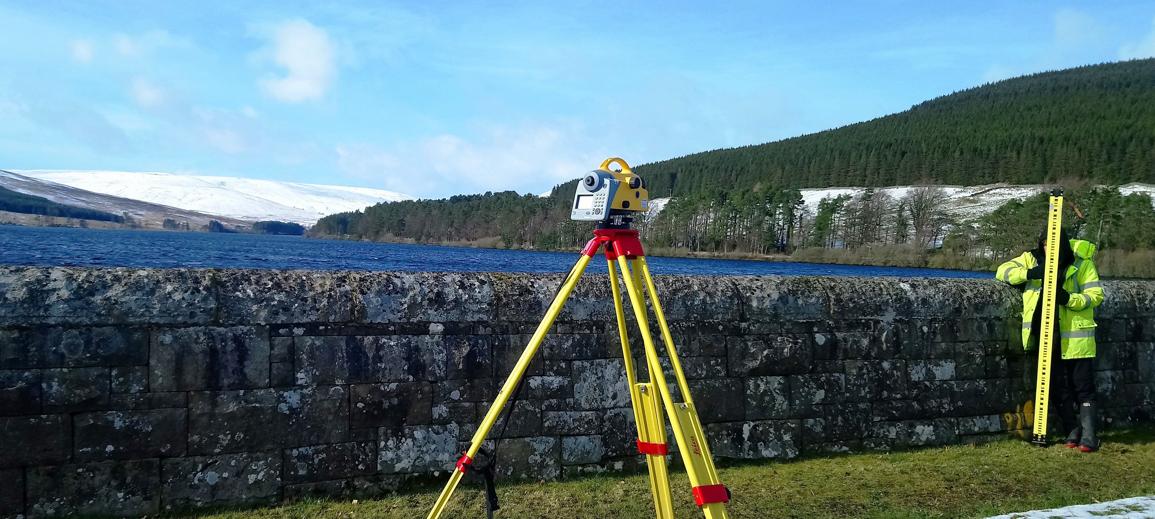
Precise Monitoring Surveys Home Precise Monitoring Surveys Academy Geomatics Ltd tailor monitoring programmes for any structure that has shown signs of movement or may be susceptible to future movement or damage. Traditionally, the main causes of structural instability and movement are near-by construction works, mining activities, ground heave, landslips and subsidence. Our team of professionals […]

Setting Out / Engineering Surveys
Setting Out / Engineering Surveys Home Setting Out / Engineering Surveys The company provides a range of services for engineering projects, from as-built check surveys to setting out of profile boards and batter rails. Our staff, with many years of experience in the construction industry, can overcome many problems to correctly control new builds and […]

Rail Surveys
Rail Surveys Home Rail Surveys From topographic surveys of track to stations, bridge surveys and tunnel alignment, drainage surveys to long term monitoring, Hallade surveys to track and structure gauging, each rail survey presents a different challenge. Our experienced railway surveyors have been involved in a wide variety of projects in diverse environments such as […]


